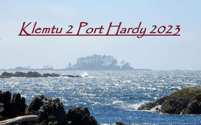
After six years of retirement preparations, Covid restrictions and the business of selling our house, buying a new one and moving to Everett it was time to return to the BC coast and the Great Bear Rain Forest. It had been even longer for my paddling partner, Dave Resler, who made it clear that he was going, no matter what. All he asked me to do was all the planning and preparations. Piece of cake, right?
Honestly, I wasn’t convinced that he would really be able to
go so I put off planning longer than I normally would have and when I did start
I found that all of my nautical charts and charting tools had disappeared in
our move. Unbelievable! I bought enough replacements to cover the
waters between Port Hardy and Caamano Sound as I figured that I could come up
with something interesting there but then found that Garmin had discontinued
support for Homeport, the charting program I use. Double unbelievable! I had lost significant functionality in their
decision to cast me aside but figured out enough workarounds to where I could
get by.
With my new charts and crippled Homeport application I decided to
create a trip that would be familiar yet have enough new twists and turns to be
interesting. I felt that it would be
most efficient (and fun) to ferry up to Klemtu and paddle back to Port Hardy by
whatever route struck our fancy and that the conditions would accommodate. Most of our “planned” campsites were just
options and not hard and fast daily destinations. Heresy, for some, but that's how I roll. It would be a vague route that would allow us
to change with the wind. The chart work
took me a couple of months of consistent work to complete.
After losing all of my charts, finding my charting program
“broken”, several of my dry bags delaminated, battery cases rusted shut, some
safety gear expired or worn out and other key gear missing in action I
shouldn’t have assumed that I was through the “broken phase” of the trip. And I wasn’t.
Dave had a new Garmin Mini 2 that would allow limited texting. Since this brought a new expectation to our
trips and because I was sensing that there might be some communication issues
regarding conditions, movement, etc. I asked local paddler, mentor and all
around good guy, Bill Porter, to act as our interpreter when and if a message
really needed clarification and the guy who would handle things if we really
needed help.
This is the story of the Carhartt Duct Tape Tour.


