Saturday, October 7, 2017

Kayak Bill Camps - Dallas Island


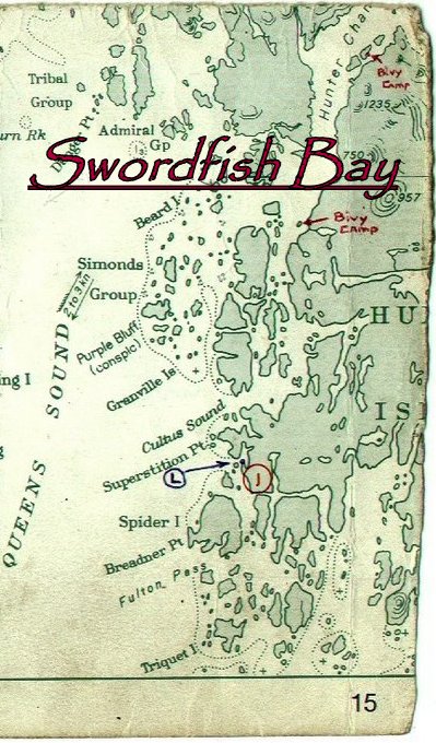
Dallas Island was one of Bill’s primary camps.  At ~21NM from Shearwater it was midway to his camps on Aristazabal.  Dallas is located along the eastern edge of Milbanke Sound and at the entry to Finlayson Channel where it provided superb shelter and a clear view of conditions on Milbanke Sound prior to committing to crossing over to Higgins Passage.  It was a one or two day paddle from his shack on Brian Clerx’s property that he referred to as “Denny Island Camp”.  By leaving Shearwater near the turn to ebb he could get to the Ivory Island / Blair Inlet complex at the turn to flood.  This would give him a push north to Dallas for the final 7 NM.  If conditions or tides didn’t cooperate there were bivy camps scattered along Seaforth Channel and a couple of camps in Blair Inlet where he could hole up.


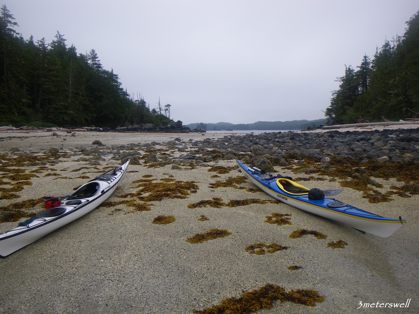
In 2007 Dave, Greg and I stayed at the Dallas Island Camp.  Bill had spent eight days here in June 2003 on his way out to his more remote camps and had spent two more nights in October on his way back to Denny Island Camp.  He was headed back to Shearwater to do some painting and resupply for what would turn out to be his last trip.  He had just two months to live. 

Friday, October 6, 2017

Kayak Bill Camps - Roar Islet


Tiny Roar Islet is tucked into Blair Inlet and protected from most of the unpleasantness that can occur on Milbanke Sound.  I suspect that prior to the establishment of the Dallas Island Camp this was Bill’s primary staging and receiving site for comings and goings with the outer coast.  He planned camps to be about 25 miles apart and set up what he called “intermediate camps” or “bivy camps” in between.  There were several of these camps set up along both sides of Seaforth Channel.  I think that after the establishment of Dallas Island Camp, Roar became an intermediate camp and probably didn’t see that much of him. 

Approaching Roar Islet
Image by Denis Dwyer

Located an hour north up Reid Passage was a log salvage operation that Bill called “Kevin’s Float Camp – Beachcomber”.  In 1994 he dropped in for a visit and met a recent college grad who was working at the camp.  Over time he would stop by to say “Hello” and enjoy a fresh cup of coffee.  During one of these visits he told the young man that he was thinking about heading out to the Goose Group to get away from the tourist traffic. 

Thursday, October 5, 2017

Kayak Bill Camps - Swordfish Bay


Years ago I read a 1992 account by Neil Frazer about a time that he and his wife stumbled upon Bill’s camp at Swordfish Bay.  They were seeking shelter on a cold, rainy, miserable day and pulled into Swordfish hoping for the best.  He described a tiny, well-tended camp beneath a tarp supported by driftwood.  Not large enough to set up a tent but it contained a single bunk and a fire box made of large rocks.  It was integrated into the islet to such a degree that it was hard to detect.  The camp was scrupulously clean. 

Looking south from the tombolo.  

In 2007 while camped at Cultus Bay I paddled the 2 NM south for a look.  I found that the entrance to Swordfish Bay is choked down by an islet and the tombolo that ties it to Hunter Island.  The entrance on the west side of the islet is constricted with rocky shoals that act nasty with southerly swell and wind.  The islet seemed the logical place for the camp so after touring the rest of the bay I landed on its bright gravel and shell beach.  Not a windscreen in sight.  No wooden structure.  Only a clearing barely large enough for a single tent just above the Spring Tide line.  The ground cover was well over my head but I attempted to beat my way into the center of the islet.  It was ridiculously difficult and didn’t seem to match Neil’s description.  I did find Bill’s signature fresh water well consisting of a 5-gallon bucket with holes in the bottom buried in the ground but nothing else.  No other signs of his occupation. 

Wednesday, October 4, 2017

Kayak Bill Camps - Extended Point


Extended Point had strategic value as a staging site for comings and goings from Calvert Island and crossings of Smith Sound.  It is the southernmost camp that I have visited.  I’m sure that Bill had camps between there and the Broughtons.  Randy Washburne told me of finding one of his camps in the cove at Wilby Point.   Perhaps he didn’t build others and just used camps established by others.  Do you know?

2009 

I first searched for the camp in 2009 when Dave Resler and I were southbound from Prince Rupert.  I “knew” exactly where it was but we didn’t find anything.  The top of the beach seemed too steep, the logs too high and the forest too thick.  We came up empty.  I knew that it was there someplace.

Tuesday, October 3, 2017

Kayak Bill Camps - Cape Calvert Camp


“Cape Calvert Camp” is located in Grief Bay at the southern tip of Calvert Island.  At just under 8 NM northwest of Extended Point it’s an easy paddle provided that conditions on Queen Charlotte Sound are accommodating. 


The bay is protected by the Sorrow Islands that sit approximately 800 meters offshore and block unfriendly seas from almost all directions.  If Extended Point was Maintenance Hell, Calvert Camp was Paradise as most large logs either drifted past Cape Calvert or got caught up on pocket beaches to the west.  The logs that did make it into the bay collected mostly on the rocky west end of Grief Bay leaving the eastern end relatively clean and the forest accessible.  

Monday, October 2, 2017

Kayak Bill Camps - Mustang Bay


Mustang Bay is on the southeast edge of Hunter Island just off Naulau Passage.  “Mustang Bay Camp” is ~26 NM from “Cape Calvert Camp” and ~32 NM from “Extended Point Camp”.  Close to that “25 miles between camps” mark that Bill preferred. 

From Mustang Bay to Swordfish Bay it is just over 12 NM that can be traversed with little exposure.  Naulau Passage is benign in almost all conditions and some southerly exposure would come crossing Kildidt Sound to the Serpent Group then running in the lee to the Kitty Hawk Group.  I suspect Bill stayed put when “conditions” were expected.
 
All that I know about Mustang Bay is this description:


“On tiny island in a group of 3 in mouth of Mustang Bay (Hunter Island).  Have to go for water via kayak.  “Two unintelligle words” of wood, good clamming, nice spot, hard landing @ LW”.

Two clusters of three islets fit the description.  A northern group with the largest island at ~700 meters in length and a more southerly group with the largest at ~170 meters.  They all look like hard landings could be expected under various tide levels and winds.  Good clamming?  Not sure where that would be unless it is on the largest of the 6 islets.


I’m not certain when this camp was in use.  During the last year of his life he didn’t travel to the southern camps and I suspect this camp was more than a bivi camp but probably not a whole lot more. Since choice driftwood for constructing a major camp would not have been plentiful I would be surprised if I learned that there was a full windscreen.  Also, the fact that the island had no water source would be very inconvenient. 

It’s on a part of the coast where my travels don’t take me and searching those islets could be very time consuming and unrewarding.  I doubt that I will ever go have a look but if you have information or are interested in having a look-see please let me know.

I would love to know more about this one as it is a mystery to me.  Have you been there?

Continued..........

Sunday, October 1, 2017

Kayak Bill Camps - Higgins Passage


This is another camp that has evaded me and it was a key stop for Bill.  It was here that he could look up and down Laredo Sound while waiting for the conditions to allow a safe crossing to Aristazabal.  He spent the last three days of June and first 3 days of July 2003 here waiting out a moderate storm on his way to camps on the outer coast of Aristazabal.  He entertained a kayaking visitor on June 28, found a new mussel bed and complained of mosquitoes.  Returning for 5 days in late September he complained again about black flies and mosquitos, commented on the number of wolves in area and a Grouse that he shot at but missed. 

Glenn Lewis encountered a man in Higgins Passage a couple of years back who had run across Bill at this camp and described it as not having a beach and being set back in the forest enough that it wasn’t visible from the water.  That could have been the reason I wasn’t able to find it in 2007 as I was looking for a windscreen.  Maybe he is the visitor Bill met on July 28.  My efforts at locating the camp failed again in late July 2017 but I’m pretty sure I know where it is now.  While lacking an easy access beach other aspects of Higgins Pass Camp make it “Classic Bill” in that it is unlikely that you would ever know it was there or ever stumble upon it.  How it has survived the ravages of the Great Bear Rainforest remains to be seen. 


Approaching Higgins Passage from the west on a clear day is an exercise in patience and confusion.  The western shoreline of the outer BC coastal islands trail off into the Pacific as a complex and confusing mass of broken islets and exposed rock.  Navigation, by chart is difficult and GPS improves the process by only a small margin.  By cheating with GPS, and still getting the maze wrong, I eventually stumbled my way to the island where Kayak Bill Davidson maintained this primary and strategic camp.